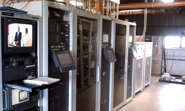
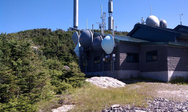
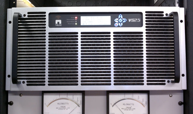
This is cute. A small (VS allegedly stands for “Very Small”) integrated 2,500-watt FM transmitter. This one we just finished installing as a backup transmitter for WSPK, on Mount Beacon, New York.
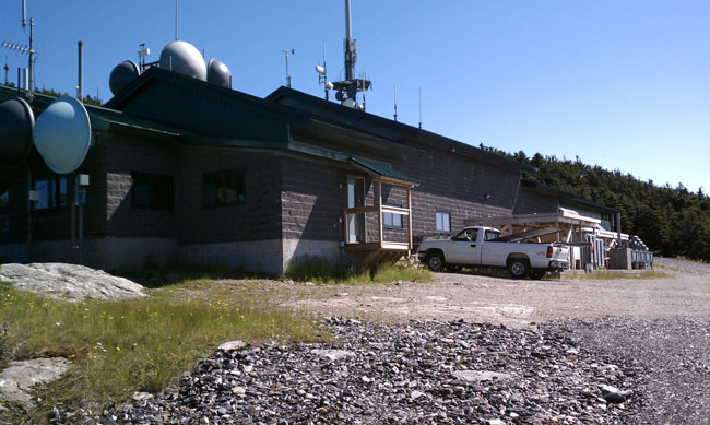
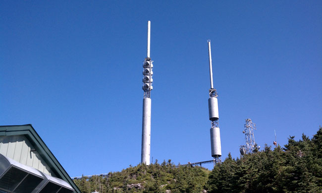
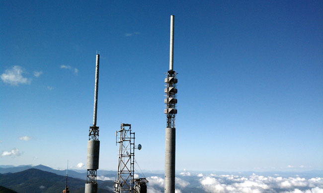
This site has a Nautel V-7.5 as the main transmitter. That unit is very reliable, however, this transmitter site is non-accessible 4-5 months out of the year due to ice and snow. The last time we had an off-air emergency due to a crippling ice storm, it took an entire week to clear away all the downed trees so we could gain access to the site via snowmobile. As such, every system needs dual or even triple redundancy. The lack of said redundancy has led to several prolonged outages in the past.
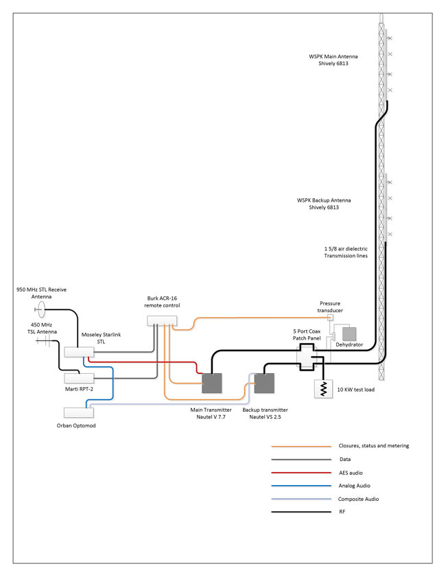
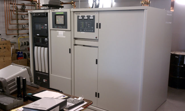
Last year, we were finally able to install a backup antenna after 63 years without one. This year, it is time to upgrade the rest of the backup equipment. The new auxiliary transmitter is connected directly to the auxiliary antenna via a five-port coax switch. This allows for the use of the dummy load for testing when we are present, but removes a potential failure point in the coax switch. There have been at least two incidences of the disk jockey accidentally transferring the transmitter into the dummy load when taking transmitter readings. Hopefully, this configuration will be fairly idiot-proof. I am making an interlock panel that will prevent both transmitters from being on the air at the same time.
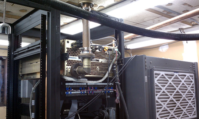
This site is a work in progress.
The backup processor is at the transmitter site, the main processor is in the rack room at the studio. This works well because the main processor occasionally looses its mind and needs to be rebooted. It would be a significant pain to drive all the way up to the transmitter site just to reboot the processor. It might not happen at all during the winter. The backup processor has no mind so it is not an issue.
The VS transmitter is attractive because it has a built-in exciter that accepts composite, AES, or IP audio. The exciter also has a built-in Orban processor as an option. Thus, if it really hit the fan, we could use the LAN extender to get the audio to the site. Further, it could be addressed by any studio in the company WAN. Which is cool, when you think about it.
Nautel continues to crank out innovative, dependable products and there is nothing wrong with that.