Storm Preparation

With Hurricane Irene taking aim at the northeast, now is the time to make preparations for bad weather.  This is the five-day forecast:

Hurricane Irene five day forecast

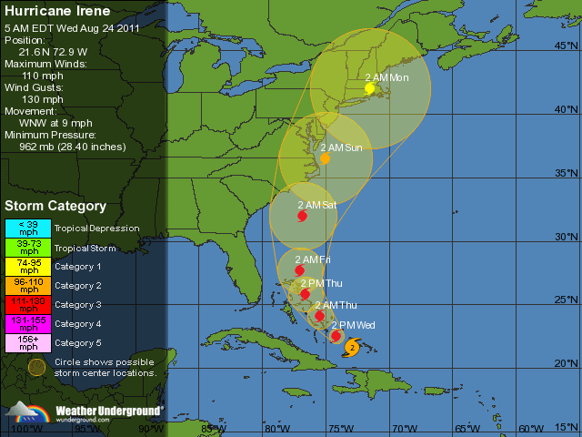
Now, five-day forecasts are notoriously inaccurate. There are too many variables to make it accurate and even the most seasoned meteorologist will admit, it is an educated guess.  However, the large semi-transparent disk is almost always accurate.  Therefore, it seems we may be in for a bit of a storm this weekend, with the eastern end of Long Island and Newport/Providence RI in the landfall area. The Bridgeport, CT stations will likely see the worst of it if the storm follows the predicted course.

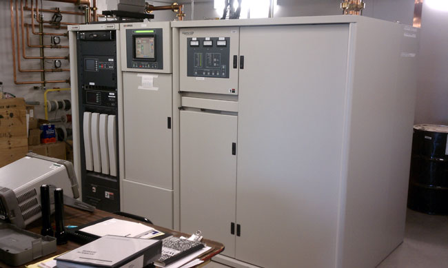
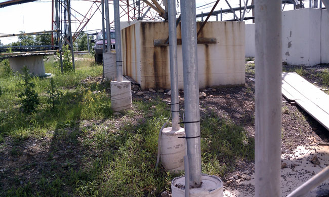
Having a good disaster recovery program in place reduces much of the pre-storm work.  This includes backup equipment and personnel allocations to keep the stations on the air and provide valuable information during the event.  Wherever and whenever our clients allow us, we make sure that these systems are properly designed, installed, and working.  When trouble is milling about offshore in the form of a Hurricane, then we make a few final preparations, both personally and for the clients:

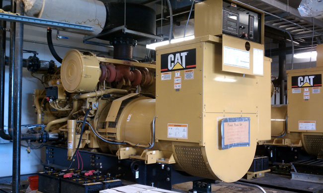
  1. Top off all generator fuel tanks and test them.  This includes my home generator.
  2. Make sure all loose items are secured.
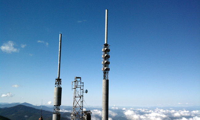
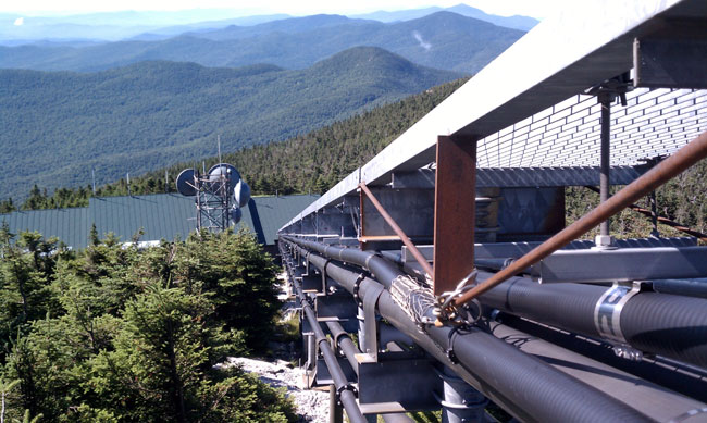
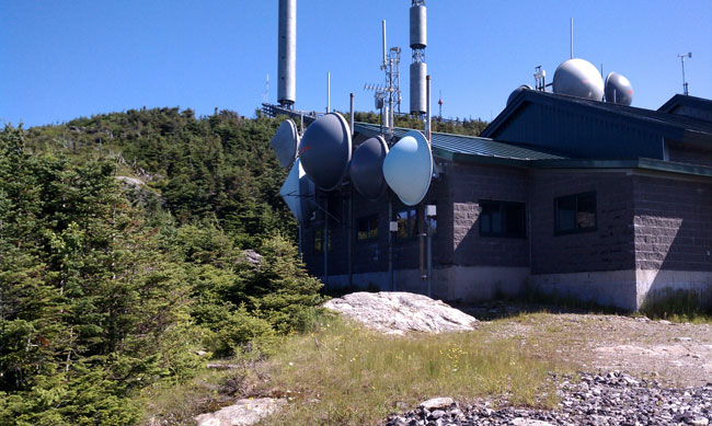
  3. Make sure other redundant systems; backup transmitters, backup STLs, and backup transmitter sites are in order and ready to be deployed.
  4. Check the personal safety items; first aid kit, rain gear, flashlight batteries, work gloves, eye protection, hard hat, some type of energy food, and extra water are in the truck.
  5. Get out a clean sleeping bag and a set of clean dry clothes and put them in the truck.
  6. Gas up the chain saw and put it in the truck with extra gas, bar oil, and blade sharpener.

During the event, it is important to recognize when a situation is too dangerous to proceed and wait for the danger to subside. Examples of this are local flooding of roadways, downed power lines, high winds, and or electrical storms while working at transmitter sites.

Radio may have lost much of its relevance as an entertainment medium, however, there is still one thing it does very well; broadcast emergency communications and information to the public.

Update: As of 5 am 8/25 it looks as if the hurricane is making a b-line toward Bridgeport, CT.  Most of the computer models are now in agreement which means the forecast is getting a better handle on the variables and is becoming more accurate.  Strength is still somewhat debatable, but even a Category 1 storm could do significant damage.  We shall see.

Update 2: As of 5 pm 8/26, Irene is still on course for the greater NYC/Long Island sound area.  As much as possible, preparations are complete.  There are some things that cannot be helped, like the height above the mean sea level of the WICC and WEBE transmitter sites (10 feet) or the lack of a generator at WXPK studios, etc.  Estimates are for Hurricane-force winds by this time tomorrow, so the only thing left to do now is get a good night’s sleep. Tomorrow may be one of those long days.

Here is an interesting thing; several people have suggested that IBOC signals on both AM and FM NYC stations be turned off so that smaller local stations will be listenable to local residents in NJ and Long Island.  A secondary consideration would be the amount of power IBOC uses and the possibility of backup generators running out of fuel to run something that has little or no audience.  If that isn’t telling….

It should be interesting.

What is this?

Or rather, what is the significance of this:

Wall Graffiti at a transmitter site
Wall graffiti at a transmitter site

A few hints; it was found (written on a wall) at an old, mountain top transmitter site. We are renovating this site and it was underneath an old old alarm panel from the 1970’s that I removed. It reads 468 ÷ 45 = 10.   and the 468 is significant.

Once upon a time, a person could go to the TELCO demark and get all of the inside numbers for the CO and any number of COs in the area.  They would be scribbled on the wall next to the equipment along with many other numbers.   This was especially helpful when doing emergency troubleshooting on a circuit that was down.  Try to do that these days and the most likely result is an unanswered phone.  Most of the smaller COs are not normally manned unless there is a trouble ticket in the process.

Mount Mansfield, highest point in Vermont

As alluded to in the previous post, I spent a fair amount of time at Mt. Mansfield last month. It is the highest point in the state of Vermont, topping out at 4,393 feet (1,339 M).  At the top, there is a large transmission facility that is home to WCAX-TV, WPTZ-TV, WVPS, WEZF, several low-power TVs, NOAA weather radio, etc.  Next door, Vermont Public TV is housed in a separate building.  Here are a few pictures and descriptions.  First of all, Mount Mansfield is the home of the Stowe Ski area.  They own the access road to the top of the mountain and are quite proud of it.  In the summertime, the toll for a carload of people is $26.00.

Mount Mansfield Toll Road gate

The transmitter building is below the actual peak.  This is one of the few transmitter sites that is manned 24/7, as such there is a working kitchen, bathroom, bunk rooms, and so on.  I’d imagine it gets pretty deary up there in the wintertime, but perhaps not.

Mount Mansfield transmitter building

The transmitters are located along a long hallway.  WEZF and WVPS share a room, and WCAX and WPTZ are in open bays as are the low-power TVs.  NOAA weather radio and some other government transmitters are located in the garage.

WCAX digital TV transmitter

All of the TV transmitters are new because of the recent conversion from analog to digital transmission.  WCAX is noted as channel three, which was their analog channel, they actually transmit on channel 22 with a power of 443 KW ERP.

WPTZ transmitter
WPTZ transmitter

Like WCAX, WPTZ was on channel five, it is now transmitting on channel 14 with 650 KW ERP.

The site is backed up by two 1.2 MW diesel generators, which can be paralleled with the commercial power grid, if needed, during peak demand times.  These generators also provide backup power for the Stowe Ski area.   There is a 50 KW back up back up generator that runs all of the emergency transmitter cooling equipment if the two main backup generators fail.

Mount Mansfield generator

All of this generating equipment requires a lot of fuel.

Transmitter building and fuel storage tanks

The TV and FM broadcast antennas are located just below the peak

Mount Mansfield TV and FM antennas

I don’t recall which TV station belongs to which antenna. The FMs are combined into the four-bay, three-around panel antenna, this includes WVPS’s HD radio signal.

Mount Mansfield from the top looking west

From the very top looking west into the aperture of the TV antennas.  I only stood there for as long as it took to get a good picture, then departed.  Off to the left of this view is the antenna for Vermont Public TV.

Mount Mansfield Vermont Public TV antenna

The transmission lines go down the hill on a large ice bridge.  An absolute necessity as the rime ice can sometimes accumulate several inches.

Mount Mansfield Ice Bridge

Tower base, is the location of the highest RF concentration, according to the TV engineers.  I only lingered here to snap a few quick photos.

Mount Mansfield tower base

All of the STL antennas are mounted to the side of the transmitter building next to the living quarters.

Mount Mansfield STL antennas

On top of all that, as if that weren’t enough, there is the view.  I would also comment a bit on the weather.  In some cases, the site can be completely engulfed in a grey dull fog bank one minute, then the wind changes direction, the sun comes out and you see this:

Mount Mansfield morning

I can think of worse things.

I regret that I didn’t have a better camera with me as several of the pertinent pictures came out blurry.  All of these pictures were taken with my cellphone camera, which works well when it works.  It is also very convenient because it is almost always with me and I don’t have to remember to bring another gadget.  However, it this is going to be a semi-serious endeavor, I will have to take some of my earnings from these scribblings and buy a good camera.

Things that make you go hmmm, part III

Continuing the series, this is a picture of an ice bridge installation I recently saw:

Ground wires on an ice bridge

On an otherwise neat installation, it appears there is something wrong with the way these ground wires are connected to the support poles of an ice bridge.  I am not sure how effective that connection will be if lightning hits anything nearby.  Generally speaking, those wires are CAD welded (exothermic welding) to the support poles or whatever else is supposed to be grounded.  I’d bet that whoever packed the truck for the job simply forgot to throw the CAD weld shots on the truck.

Now they have to come back.

It will be interesting to see how long it takes whatever tower company to return to the site and finish the job.